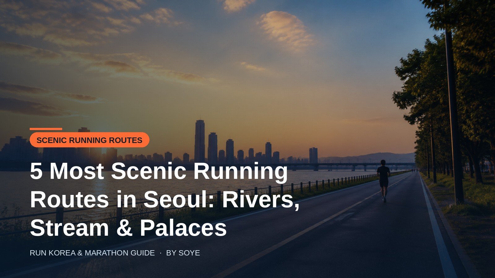
Seoul is a running city in a way that surprises visitors. The mountains sit inside the city limits, two rivers of flat paved path run through it, and every stream that was once covered in concrete has been opened again as a walking and running corridor. I live in Eunpyeong-gu, five minutes from one of these streams, and I have run every route below enough times to know where the water fountains are, which corner floods after rain, and which section smells of fish at low tide in July.
These are the five I recommend to anyone visiting, plus one heritage loop for the morning you want photographs instead of split times. Distances are the measured path lengths, not my watch’s guesses, and the table is what I would want if I had one free morning in Seoul.
Quick Verdict
One morning only? Run the Bulgwangcheon-to-Nanji line (about 10 km out and back). It is flat, lit, marked every 100 metres and ends at the Han River with a view that earns the turn-around. For sunset, take the Yeouido Hangang Park loop (8.4 km of park frontage) and finish facing the skyline. For the photograph you will actually post, run Banpo to Jamwon (about 6 km) at dusk under the rainbow fountain. For a workout, Namsan’s north circular road gives you 3.3 km of vehicle-free hill and 160 m of climbing per round trip. Cheonggyecheon (5.8 km) is the prettiest and the most crowded — go before 07:00.
The five routes compared
| Route | Distance | Surface | Climbing | Water & toilets | Lighting | Best hour | Nearest station |
|---|---|---|---|---|---|---|---|
| Bulgwangcheon → Nanji Eunpyeong / Mapo |
~4.5 km one way 10 km out and back |
Asphalt, rubberised strip beside it | Almost none — a gentle grade | 24 h convenience stores at street level; no toilets on the path | Excellent, lampposts throughout | 06:00–08:00 or 20:00–23:00 | Bulgwang (Line 3/6), Yeonsinnae (3/6) |
| Yeouido Hangang Park Yeongdeungpo |
8.4 km of park; 8–11 km island loop |
Wide flat asphalt | Flat, ~10 m | Toilets, seasonal fountains, 24 h stores | Good; short dark patches under bridges | 17:00–19:00 for sunset | Yeouido (5/9), Saetgang (9) |
| Banpo → Jamwon Seocho / Gangnam |
~6 km one way (12 km out and back) |
Asphalt, some paving near plazas | Flat with two ramp climbs | Toilets at Banpo and Jamwon; fountains in season | Very good, city glow | 19:00–21:00 | Express Bus Terminal (3/7/9) |
| Cheonggyecheon Jongno / Jung-gu |
5.8 km restored section | Stone paving and boardwalk, steps at some entries | Mild, ~30 m total | Few on the path; use street-level stores | Designed lighting, best at night | Before 07:00 | Gwanghwamun (5), Jonggak (1) |
| Namsan north loop Jung-gu |
3.3 km one way 6.6 km round |
Asphalt, vehicle-free | ~160 m per round, 5 climbs | Toilets and a changing room at the entrance; no fountains | Patchy after dark — bring a headlamp | 06:00–09:00 | Dongguk Univ. (3), Chungmuro (3/4) |
Two things to notice before you pick. First, Seoul’s flat routes are genuinely flat — this is a river valley, not a hill town — so a visitor can hold a pace here that would be impossible at home. Second, the hills are concentrated in exactly one place on this list, Namsan, which is why local runners treat it as a training ground rather than a sightseeing route.
1. Bulgwangcheon → Nanji Hangang Park (10 km)
This is my home route and the one I recommend to anyone staying in the north-west of the city. Bulgwangcheon runs down from the Bukhansan foothills through Eunpyeong-gu and empties into the Han River at Nanji. The stream path is a continuous ribbon of asphalt with small distance markers every 100 metres, lampposts the whole way, and almost no road crossings — the kind of route where you can stop thinking about navigation and just run.
The run. Start at Bulgwang Station (Line 3/6), find the stream and follow it downstream. The first two kilometres are the busiest, with dog walkers and strollers; after that it thins out. Around the 4.5 km mark the stream meets the Han River and you pop out into Nanji Hangang Park, which is a completely different landscape: wide river, reed beds, the World Cup Park hills behind you. Turn around there for 9 km, or add a short lap of the Nanji park paths to make it 10 km. There is a small rise on the return leg that feels unfair at 8 km, and nothing else.
Why it works for visitors. It is the easiest route in Seoul to reach from a hotel in the centre (Line 3 or 6 direct), it needs no map, and it is the one route here where you can run intervals without dodging anyone. In early April the cherry trees along the lower stretch are as good as Yeouido’s with a tenth of the crowd.
2. Yeouido Hangang Park loop (8.4 km)
Yeouido is the postcard. The park runs along the north shore of the island for 8.4 km, and the classic loop takes you out along the river path, around the eastern tip at Saetgang and back along the inner road — 8 km if you keep it tight, 11 km if you wander. On a clear evening the light hits the 63 Building and the Mapo bridges and every runner on the path stops to take the same photograph.
The run. From Yeouido Station (Line 5/9) walk to the park and turn left or right — either direction works. The river side is flat and fast, with long straight sections between bridges that are perfect for tempo work. The inner side is where the food stalls, the bike rentals and the weekend crowds are. The eastern tip at Saetgang is the quietest and, in my view, the prettiest part.
Watch out for. Bicycles. The Han River paths share space with cyclists and, increasingly, e-scooters, and the fast lane is not always where you expect it. Keep to the pedestrian side, look before you cross a lane, and do not run with headphones in both ears on a Saturday. Also, the park is open 24 hours and is genuinely busy until midnight on weekends — it is safe, but it is not quiet.
3. Banpo → Jamwon, the moonlight stretch (6 km)
If you want the run that makes people ask where you were, this is it. The stretch from Banpo Hangang Park east to Jamwon passes under Banpo Bridge, where the Moonlight Rainbow Fountain fires water jets off the bridge deck in the evening, and past Some Sevit, the floating islands lit up like something from a science fiction film.
The run. Start at Express Bus Terminal Station (Lines 3, 7, 9), walk down to the river, and head east. Six kilometres of flat paved path take you to Jamwon; the return makes 12 km, or you can cross at the Jamsu Bridge and come back on the north bank for a change of view. The fountain runs on a seasonal schedule in the evening — check the day’s times, because the run is timed around it whether you planned to or not.
Watch out for. Pedestrian traffic near the fountain and the floating islands is heavy on summer evenings, and the path narrows there. Treat the first two kilometres as a warm-up and you will enjoy it more. In winter the fountain is off and the whole stretch becomes a quiet, cold, wonderfully empty training line.
4. Cheonggyecheon, the downtown line (5.8 km)
Cheonggyecheon is the stream that was buried under a motorway and reopened in 2005 as a 5.8 km sunken park through the middle of the old city. It is the most beautiful city run in Seoul and, at the wrong hour, the least runnable: the restored section is a walking path first, and on a weekend afternoon you will be doing a slalom through couples, children and selfie sticks.
The run. Start at Cheonggye Plaza near Gwanghwamun and follow the water east to Sindap, where the restored section ends. The surface is stone paving and boardwalk — fine in road shoes, punishing in racing flats — and there are steps at some entry points, so plan where you get on and off. If you want more, you can continue about 3 km down the lower channel towards the Han River, where the path becomes rougher and much emptier.
Watch out for. The first 500 metres at the plaza, which are always crowded; the stone surface when it rains, which is genuinely slippery; and the fact that the stream is a sunken corridor, so you cannot cross to a convenience store without climbing out. Go before 07:00 and it belongs to you and the herons.
5. Namsan north circular road (6.6 km, 160 m up)
Namsan is where Seoul’s runners go to get strong. The north circular road — 북측순환로 — is closed to cars and bicycles, runs through forest around the north side of the mountain, and delivers five short climbs and five descents per circuit. It is 3.3 km one way, 6.6 km out and back, and roughly 160 m of accumulated climbing per round trip. Local runners do three rounds and call it a half-marathon substitute.
The run. From Dongguk University Station (Line 3) or Chungmuro (Lines 3/4), walk or jog up to the north loop entrance near the National Theater. The path itself is simple: one road, follow it. Halfway round you can take the spur up to N Seoul Tower — about 2 km of continuous climbing that will reorganise your idea of what a hill is. There is a changing room, lockers and toilets at the entrance, which makes it the most practical hill session in the city for a visitor with a backpack.
Watch out for. The dark. The road is tree-covered and the lighting is patchy, so a headlamp or a phone light is sensible before sunrise. The descents are steep enough to punish your quads if you let gravity do the work, and the surface holds ice in the shaded sections well into a cold morning.
Bonus: the palace-wall heritage loop (6.5 km)
For the morning you want a run that is also a walk through 600 years of architecture, this loop needs no park and no river. Start at Gwanghwamun, run west along the Gyeongbokgung wall into Seochon, climb gently through Samcheong-dong and Bukchon, drop to Anguk, cut through Insadong and return along Cheonggyecheon to where you started. About 6.5 km, two short climbs, and more photographed corners per kilometre than any other route on this page.
The run. Early morning is the only sensible time: the alleys of Bukchon are narrow, and after 10:00 they fill with tour groups. Note that you cannot run inside the palace grounds — Gyeongbokgung needs a ticket and opens at 09:00 — so this is a wall-and-alley loop, not a palace run. It is also the best route on the list for a slow, stop-at-every-corner jog with a camera.
Lockers, toilets, water and how to get there
The practical details are what separate a good run from a frustrating one, so here is how I handle them.
- Lockers. Major subway stations have app-operated lockers (look for the unmanned locker banks near the gates; payment by card or T-money). For Namsan, the north loop entrance has a changing room and lockers and is the only place on this list where you can leave a bag with confidence. Han River parks have lockers at some facilities, but I would not rely on them.
- Toilets. Reliable at Yeouido, Banpo and Jamwon Hangang Parks and inside Namsan’s loop entrance. Not on Bulgwangcheon or Cheonggyecheon — those are street-level convenience-store stops.
- Water. Drinking fountains in the Hangang parks run seasonally, roughly April to October. Outside that, every route here has 24-hour convenience stores within 300 m at street level. Carry a card; nobody in Seoul carries cash for a 500 ml bottle any more.
- Getting there. All five routes start within a five-minute walk of a subway station, and the subway opens around 05:30. A T-money card or a single-ride ticket is all you need; the Han River parks also have bike-share docks (Ttareungi) if you want to ride home.
- Etiquette. Keep to the right on shared paths, pass on the left, and give way to cyclists on the river roads. Nobody will tell you off; they will simply think you are a tourist, which you are, so it costs nothing to be the polite one.
A five-day running week in Seoul
- Day 1 — arrive, shake out 5 km on Cheonggyecheon at 06:30. Flat, central, and a good way to see the old city before the crowds.
- Day 2 — Bulgwangcheon to Nanji, 10 km easy. Your long, gentle aerobic run, ending at the Han River.
- Day 3 — Namsan north loop, 2 rounds (13.2 km) or 1 round plus the tower spur. This is the hard day; keep it away from your long run.
- Day 4 — Banpo to Jamwon at dusk, 12 km out and back. The reward run, with the fountain and the skyline.
- Day 5 — Yeouido loop, 8 km with 4 × 1 km at tempo. Flat, wide and forgiving of tired legs; finish with the sunset.
FAQ for runners visiting Seoul
Are the Han River running paths open at night?
Yes. The Hangang parks are open 24 hours, and the main paths are lit and used by runners until late. Expect short dark patches under the bridges and keep an eye out for cyclists and e-scooters.
Where can I shower after a run in Seoul?
Not at the parks. Options are a jjimjilbang (₩12,000–15,000, open 24 hours, towels included), a 24-hour sauna near most major stations, or the shower in your hotel. Namsan’s north loop entrance has changing rooms but no showers.
Can I run inside Gyeongbokgung or the other palaces?
No. The palace grounds require a ticket and are for walking; running inside is not permitted. The palace walls, however, make an excellent 6.5 km loop through Seochon, Bukchon and Insadong.
When is the best season for running in Seoul?
Late September to early November, then late March to May. Autumn gives 10–20°C and dry air; spring gives cherry blossoms but also yellow dust days — check the air quality app (AirKorea) before a hard session, and move it indoors if PM2.5 is high.
Is it safe to run alone in Seoul, including as a woman?
Yes, on all the routes above and at normal hours. They are public, lit, covered by CCTV and busy with other runners. The real risks are bicycles, black ice in winter and a flooded stream ramp after heavy rain, not crime.
Do I need special shoes for these routes?
No. All five are road routes. The only exceptions: Cheonggyecheon’s stone paving is slippery when wet, and Namsan’s descents are hard on the quads — normal road shoes with decent grip handle both.
Final Summary
- Bulgwangcheon → Nanji (10 km out and back) — flat, lit, marked every 100 m, ends at the Han River. Best for a first run or intervals. Bulgwang Station, Line 3/6.
- Yeouido Hangang Park (8.4 km park, 8–11 km loop) — the sunset loop with toilets, water and 24 h stores on site. Watch the bike lane.
- Banpo → Jamwon (6 km one way) — the moonlight rainbow fountain and floating islands; go at dusk, expect crowds near the fountain.
- Cheonggyecheon (5.8 km restored) — the most beautiful and most crowded; before 07:00 or after 21:30, and mind the slippery stone.
- Namsan north loop (3.3 km one way, 6.6 km round, ~160 m up) — vehicle-free hill repeats with lockers and a changing room at the entrance; headlamp in the dark months.
- Bonus palace loop (6.5 km) — Gyeongbokgung wall, Seochon, Bukchon, Insadong, Cheonggyecheon. Before 09:00, camera in hand.
Last checked: 15 November 2026. Distances are the official park and stream figures and my own GPS rounds; lighting, fountain schedules and post-rain closures change with the season, so check the park notice at the entrance. Air quality: AirKorea app, checked before any hard session.